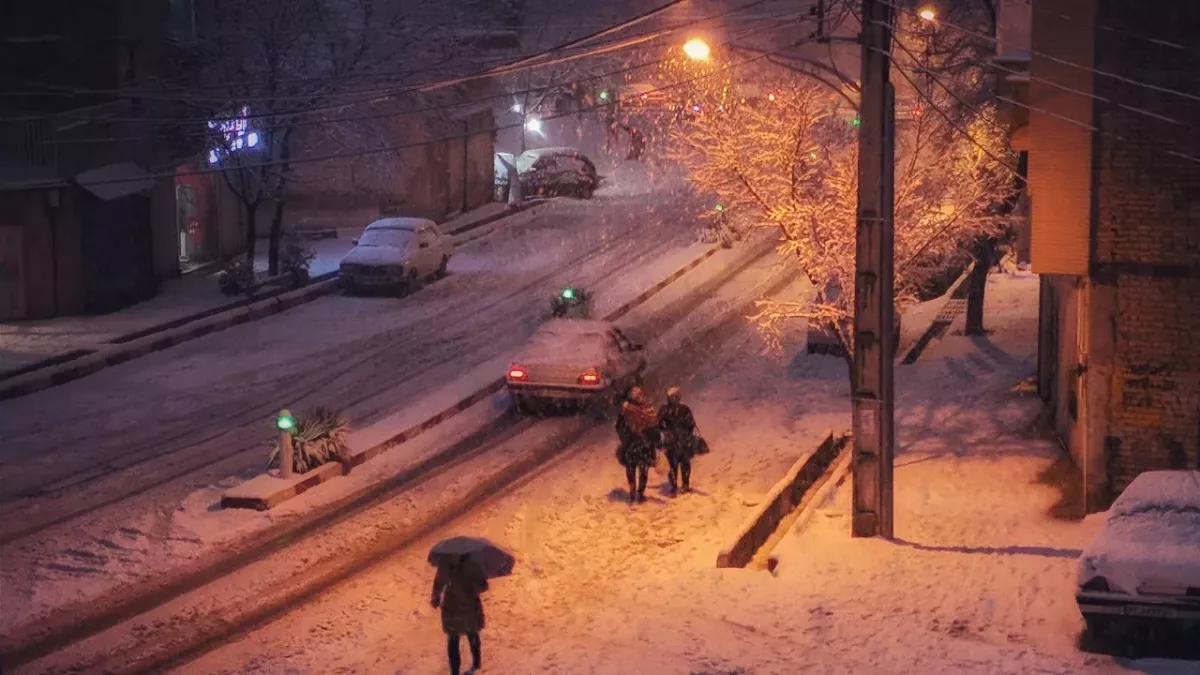
Wave of snow and ice to cover UK before cold snap breaks, here's when it will get warmer
The UK will see yet more cold weather before conditions warm back up.
The UK has been dealing with extremely low temperatures over recent weeks. Weather warnings have been issued and drivers have been told to watch out for these fines that you’re likely to forget about in cold conditions. Now, weather maps have predicted a wave of snow and ice that is to cover the UK, along with rain in some areas.
Scotland, the Midlands and North East and West England experienced the worst of the snow and ice but according to recent forecasts, more is yet to come for other areas. Here’s what you can expect in the coming days and when this cold blast will finally come to an end.
Weather for the coming days
More snow and ice is set to cover the UK as far south as Stoke, and will sweep up towards northern England and southern Scotland late on the evening of Wednesday 6 December. Unfortunately, the rest of the UK is very likely to see a whole lot of rain. This will come hand in hand with yet more cold temperatures as a cold air mass blows over the country from Scandanavia.
This is set to meet with a warm front coming from the Atlantic, causing an increased risk of ice and snow. Chief Met Office meteorologist Jason Kelly said that this warmer front should increase temperatures in ‘many southern areas’. He added:
However further south rain will become the main hazard and a yellow warning for rain had been issued for Monday for parts of the South West. Warnings may well be updated over the coming days so keep up to date with the forecast in your area.
When will this cold weather end?
As many Brits are feeling the financial hit of the run-up to Christmas, cold weather brings fears of higher energy bills. However, according to the Met Office’s 5-day weather forecast, things will warm up towards the end of this week.
We can expect some overnight frost and foggy mornings for the next couple of days, but the weather should get milder as we step into the weekend. Unfortunately, this is likely to come alongside some heavy showers in parts of the UK with windier conditions in coastal areas.
So, wrap up warm and remember: the end of this cold snap is in sight!
Read more:
⋙ Teeth sensitivity in cold weather: This is why it happens
⋙ This is the best at-home remedy for your cold this winter
⋙ Scientists discover the coldest place in the Universe, here's how low the temperatures actually get
Sources used:
Express: UK cold weather: New maps show wall of snow and icy rain to hit Britain in hours
