Storm Franklin: Why are there so many storms in the UK right now?
Many environmental changes are currently being detected in the ocean, which is causing intense storms in the northwestern portion of Europe. Let's take a look at what's going on.
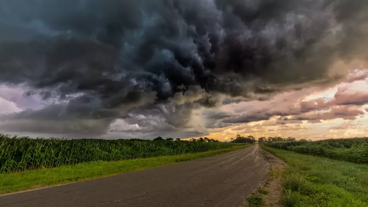
In the span of a week, the UK has been battered by three storms: Storm Dudley, Storm Eunice, and Storm Franklin last weekend. 1.4 million homes are still without power, some for up to 72 hours now.
Why are there so many storms in the UK right now?
Jet streams: What are they?
🔴 NEW: Storm Franklin approaches as UK hit by three named storms in a week for first timehttps://t.co/qrJOEUMKwR
— The Telegraph (@Telegraph) February 20, 2022
Climate change has caused severe rifts in the weather, quite literally so. The storms, caused by large temperature variations in the Atlantic Ocean, enhance a wind corridor known as the jet stream.
Jet streams have the characteristics of blowing from west to east and about five to seven miles above the Earth's surface.
Meteorologist Becky Mitchell said:
At the moment we’ve got a really active jet stream, which is why we’re seeing so many storms track right towards the UK.
The battle of the turbulent weather continues, and Storm Franklin has caused major flooding in various areas across the UK.
These lads know what’s up! #StormFranklin pic.twitter.com/E4UvalHoQJ
— Keith Walsh (@KeithyWalsh) February 20, 2022
Read more:
⋙ Storm Dudley and Eunice: 13 dogs were electrocuted to death in the UK
⋙ Storm Eunice: This shocking video shows just how violent the storm has been
⋙ Here's how the extreme cold may affect your body
Pouch-like clouds: Sign of improving weather
If you’ve had your eyes on the sky you might have spotted some mammatus #cloud today.
— Met Office (@metoffice) March 12, 2021
This is a stunning example from Germany but they’ve been seen in the UK too. Thanks to @JuliaCurio for sending us these fabulous photos #LoveUKWeather pic.twitter.com/BXtGp4EV5Q
Mammatus clouds or pouch-like clouds were another site to see in the UK and parts of Germany. The Met Office has maintained a calm demeanour, assuring UK citizens that they need not be too concerned.
These pouches of clouds carry mostly ice and may appear to be dangerous. However, they are harmless and do not signify the occurrence of a tornado. It's more of a sign that the weather is improving.
The forecast for tomorrow reads: showers in the north are frequent, with snow falling to low levels by nightfall. Sunny periods and isolated showers are forming farther south, with temperatures remaining warm.
However, with so many natural abnormalities, it is evident that we must pay attention to our environment.