Storm Ciarán to bring more flooding to the UK, here’s when it will arrive

Here’s everything you need to know about the third named storm of the season.
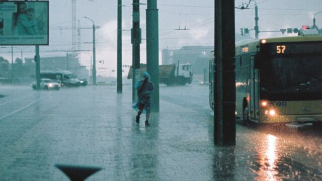
The UK has been battered by some terrible weather over the last few weeks, and it looks like that isn’t going to change any time soon. Storm Ciarán is set to hit this week, bringing with it 80mph winds, heavy rain and yet more flooding. This comes as many areas are struggling to recover from the chaos of Storm Babet which saw people being evacuated from their homes and caused several deaths.
Discover our latest podcast
Met Office Deputy Chief Meteorologist, Chris Almond stated:
Heavy and persistent rain will fall onto already saturated ground bringing a risk of further impacts such as flooding in areas that are already struggling to clean up from the heavy rainfall we have seen over the last week or so.More under this adMore under this ad
Here’s everything we know about where and when the storm will hit the UK, how it got its name, and the official advice on how best to deal with the terrible weather.
Where and when the storm will hit the UK
The Environment agency has issued a whopping 72 flood warnings in place across England, with a further 18 in Scotland. As of yet, forecasters don’t have a clear picture of the areas that will be affected. However, the Met Office has said that southern England and Wales will be hit with the worst of the storm.
More under this adMore under this adSevere weather warnings for rain are expected to be issued every day this week before the storm officially arrives on Thursday 2 November. Chris Almond explained that strong winds will accompany the rain, which is to reach up to 60mm in some areas:
Winds associated with Storm Ciarán are likely to gust to 80mph along the south coast of England, with a small risk of somewhere exposed seeing 90mph, and winds could even gust up to 50 or 60 mph further inland.More under this adMore under this ad
How the storm got its name
This storm season has seen three named storms so far: Agnus, Babet and Ciarán. This practice has actually only been going on for 9 years, and hasrecently changed its name selection process.
The Met Office and the Irish service Met Éireann previously used names shortlisted by the public, but will now use the names of real people working to protect the public from dangerous weather across the UK and Ireland.
More under this adMore under this adThis time around, for example, the storm is named after Ciarán Fearon, who works in the Department for Infrastructure in Northern Ireland.
Official advice for dealing with the terrible weather
If you plan on travelling over this period of bad weather, the Met Office suggests that you choose main roads where you are less likely to be exposed to debris and flooding. Similarly, if heavy downpours are expected, wait for the worst of it to clear before you set off on your journey.
More under this adMore under this adYou should also stay up to date with the latest news surrounding the storm as forecasters get a better understanding of its impact. You can do this on the Met Office website.
Read more:
⋙ As a superfog causes massive damage in Louisiana, can this scary phenomenon happen in the UK?
⋙ Rare white rainbow spotted in Florida, here's the explanation for this phenomenon
Sources used:
Independent: Weather warning live: Storm Ciarán heads to UK with 80mph winds and heavy rain
Met Office: UK weather warnings